Bestand:Ligurian Sea map.png
Naar navigatie springen
Naar zoeken springen
Geen hogere resolutie beschikbaar.
Ligurian_Sea_map.png (600 × 505 pixels, bestandsgrootte: 145 kB, MIME-type: image/png)
Beschrijving
| Beschrijving |
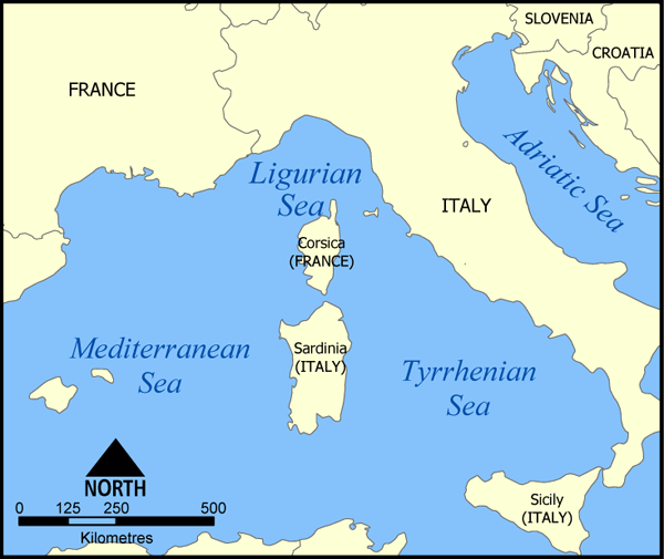
A map showing the location of the Ligurian Sea. Created by NormanEinstein, May 20, 2005. |
| Datum | 20 mei 2005 (originele uploaddatum) |
| Bron | Geen machineleesbare bron opgegeven. Eigen werk aangenomen (gebaseerd op auteursrechtclaims). |
| Auteur | Geen machineleesbare auteur aanwezig. Op basis van auteursrechtclaims wordt auteur NormanEinstein aangenomen. |
| Andere versies |
|

Licentie
Ik, de auteursrechthebbende van dit werk, maak het hierbij onder de volgende licenties beschikbaar:

|
Toestemming wordt verleend voor het kopiëren, verspreiden en/of wijzigen van dit document onder de voorwaarden van de GNU-licentie voor vrije documentatie, versie 1.2 of enige latere versie als gepubliceerd door de Free Software Foundation; zonder Invariant Sections, zonder Front-Cover Texts, en zonder Back-Cover Texts. Een kopie van de licentie is opgenomen in de sectie GNU-licentie voor vrije documentatie. |
| Dit bestand is gelicenseerd onder de Creative Commons-licentie Naamsvermelding-Gelijk delen 3.0 Unported | ||
| ||
| Deze licentietag is toegevoegd aan dit bestand in verband met de GFDL licentie-update. |
U mag zelf één van de licenties kiezen.
Other versions

|
Bestand:Ligurian Sea map hr.svg is een vectorversie van dit bestand. Indien niet van slechtere kwaliteit dient deze gebruikt te worden in plaats van deze rasterafbeelding.
File:Ligurian Sea map.png → File:Ligurian Sea map hr.svg
Zie Help:SVG voor meer informatie. |
 |
derivative works
Afgeleide werken van dit bestand: Ligurian Sea map-bg.png
Bestandsgeschiedenis
Klik op een datum/tijd om het bestand te zien zoals het destijds was.
| Datum/tijd | Miniatuur | Afmetingen | Gebruiker | Opmerking | |
|---|---|---|---|---|---|
| huidige versie | 20 mei 2005 18:40 | | 600 × 505 (145 kB) | NormanEinstein | A map showing the location of the Ligurian Sea. Created by NormanEinstein, May 20, 2005. {{GFDL-self}} Category:Maps of Seas |
Bestandsgebruik
Dit bestand wordt op de volgende pagina gebruikt: